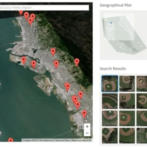
Want to keep tabs on fire incidient near you, your friends or family? Want to create an alert for your vacation cabin?Maybe just curious about digging deep into incident reports? The US Forest Serivce has released a beta web mapping application to do all that and more.
The Washington Post, using data from Black Knight Financial Services, recently published an amazing series of maps showing disparities in the United States' housing recoveries.
Some outstanding news was just released yesterday at the annual AUVIS Xponential 2016 conference in New Orleans, which will likely make it much easier to fly sUAS for educational purposes.
There are so many exciting new developments happening in respect to drones within the University of California system it is hard to know where to start.
This text excerpted from the Hopland Newsletter: Over 70 scientists and naturalists descended upon HREC from April 8-10th in our first Hopland Bioblitz.