IGIS Blog
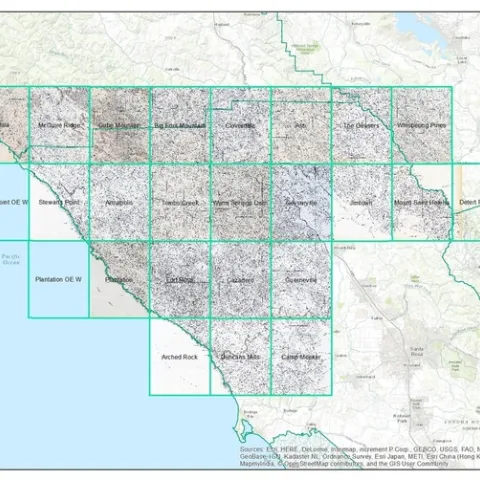
New digitization project: Soil-Vegetation Map Collection
September 21, 2016
By Maggi Kelly

GIS as Calculus, and other Reflections from the 2016 California Naturalist Conference
September 19, 2016
By Andy Lyons
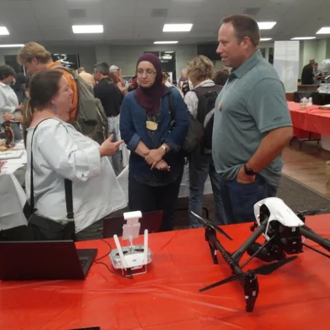
Spatial Technology for Citizen Science at the 2016 California Naturalist Conference
September 11, 2016
By Sean D Hogan