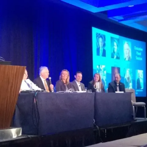
Esri has been holding these Imagery and Mapping Forum days prior to the main UC. I was here for the day, as an invited panelist for the Executive Panel and Closing Remarks session on Sunday.
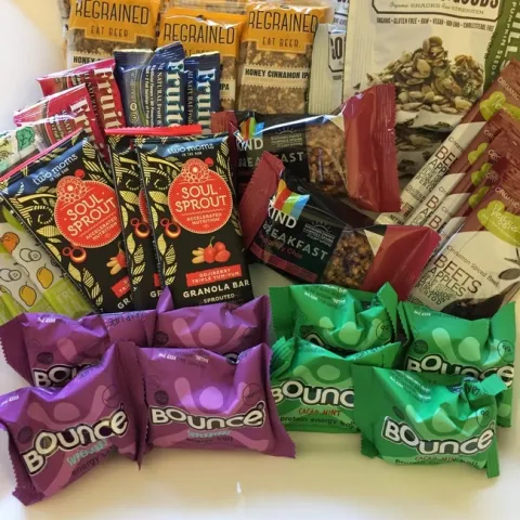
UC ANR was a sponsor for the FOODIT: Fork to Farm meeting in June 2017: http://mixingbowlhub.com/events/food-fork-farm/. Many of us were there to learn about what was happening in the food-data-tech space and learn how UCANR can be of service. It was pretty cool.
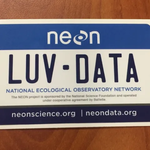
So much to learn! Here is my distillation of the main take-homes from last week. Making participants do organized homework and install software is necessary for complicated workshop content: http://neondataskills.