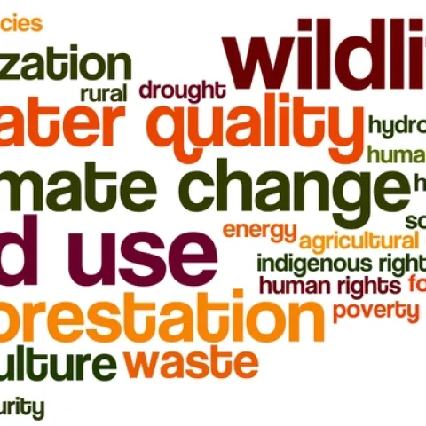
IGIS

Primary Image
Dronie.png
IGIS: Article

Wrap up from #DroneCamp2017!

July 27, 2017
UC ANR's IGIS program hosted 36 drone enthusiasts for a three day DroneCamp in Davis California. DroneCamp was designed for participants with little to no experience in drone technology, but who are interested in using drones for a variety of real world mapping applications.
View Article
IGIS: Article

Esri User Conference 2017 – Day 3

July 12, 2017
By Shane T Feirer
Today was a great day at the ESRI User conference. I attended several sessions covering the use of raster and vector data in big data analyses, the use of python and r for data science, and the use of arcpy to create and modify maps in ArcGIS Pro.
View Article
IGIS: Article

Esri User Conference 2017 - Days 1 & 2

July 11, 2017
By Robert Johnson
It's that time again! The worlds largest GIS User Conference has returned for its 38th year and the first two days have been jam packed with content. This is my fourth time attending, and I'm always a bit surprised by how much the conference seems to have grown every time I come down.
View Article