
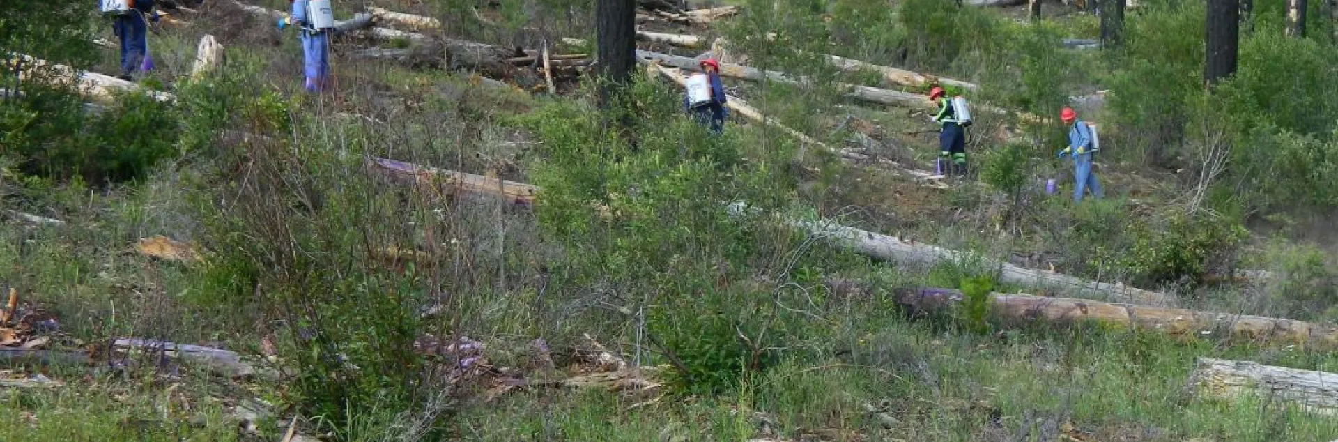
California's forests are burning at unprecedented rates. In the Sierra Nevada and Cascades, forest area burned at high severity fire has increased from 7% historically to 36% in recent years. Nearly a third of southern Sierra Nevada conifer forests have already transitioned to shrublands after wildfire. The recovery challenge extends across 7 million acres of non-industrial private forestlands, owned by 75,000+ individuals, with 90% managing parcels smaller than 50 acres. This fragmented ownership makes identifying and supporting landowners particularly complex. Without assistance, studies show one-third would take no reforestation action at all.
This tool was developed through the UCCE Post-Fire Forest Resilience Program in partnership with American Forests. Using publicly available data, the database helps forestry assistance organizations identify reforestation opportunities on non-industrial private forest land and communicate with landowners to offer assistance services. The goal is to foster support to a broad range of communities, including underserved landowners, to successfully recover from wildfires. The methods used intentionally take a broad approach to identifying reforestation opportunities, recognizing various landowner values—aesthetics, economic benefits, and ecological restoration. This inclusive strategy allows for outreach to landowners impacted by wildfires, providing planning and implementation support for those ready to reforest. The application provides three integrated capabilities:
- Reforestation Opportunity Mapping
- Identifies 555,232 acres burned at moderate/high severity (2019-2021 fires)
- Maps opportunities by individual NIPF parcels using REGRID data
- Integrates MTBS, RAVG, and BAER severity data for comprehensive coverage
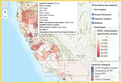
2. Demographic and Social Analysis
- Incorporates CDC's Social Vulnerability Index at census tract level
- Identifies underserved communities for equitable assistance prioritization
3. Capacity and Resource Assessment
- Maps existing programs, RCDs, and Registered Professional Foresters
- Identifies gaps where additional resources are needed
- Connects landowners with available assistance programs
To view the application and learn more, visit the links below.
Find the printable version of this fact sheet below. Note that the pdf is for print purposes ONLY.
