IGIS

Primary Image
image 19649
IGIS: Article

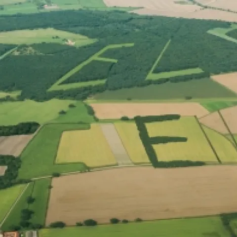
Help to Validate Global Land Cover with GeoWiki and Cropland Capture

December 5, 2013
Courtesy of the International Institute for Applied Systems Analysis This creative project from GeoWiki seeks to get croudsourced feedback on crop types from participants around the world. They say: By 2050 we will need to feed more than 2 billion additional people on the Earth.
View Article
Primary Image
image 19567
IGIS: Article

Those crowded skies: Flight maps and delays

November 28, 2013
real time map of flights from planefinder.netYou've probably seen the frequently-cited "Misery Map" (D3 behind the scenes) showing how the Thanksgiving storm has blown many a tight travel plan off schedule. Here is another cool one: real-time map of all the flights in the air.
View Article
Primary Image
image 19496
IGIS: Article

The evolution of a Digital Earth

November 22, 2013
In 1998 Al Gore made his now famous speech entitled The Digital Earth: Understanding our planet in the 21st Century. He described the possibilities and need for the development of a new concept in earth science, communication and society.
View Article
Primary Image
image 19324
IGIS: Article

Global forest change from Landsat and Google

November 15, 2013
Lots of exciting sharing this week! A new high-resolution global map of forest loss and gain has been created with the help of Google Earth. The interactive online tool is publicly available and zooms in to a remarkably high level of local detail - a resolution of 30m.
View Article