Do you find climate data confusing? If so, you're not alone! IGIS is pleased to co-host a webinar on Thursday January 23, 2020 at 12:30pm on an Introduction to Climate Data with our colleagues at Cal-Adapt.
Wow! Its been awhile since I posted. Thats because Fall semester was a full one. Ill update you all on that soon - it basically will be a summary of using Pro for class, which was terrific. OK on to the workshop.
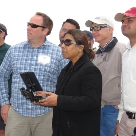
To support broad participation for next month's DroneCamp in Monterey, IGIS has launched the DroneCamp Scholarship Program. DroneCamp is an intensive three-day workshop that covers everything one needs to know to use drones for mapping and data collection.